Image 1 of 9: Airport mobility system overview renderAutonomous Airport Parking
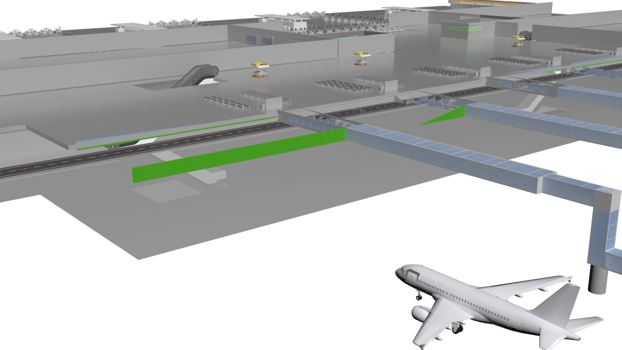
An integrated airport mobility concept connecting smart parking, autonomous terminal shuttles, passenger guidance and a mobile application.
View projectExplore intelligent mobility, traffic safety, simulation, optimisation, mechanical systems, GIS and data-led transport planning.
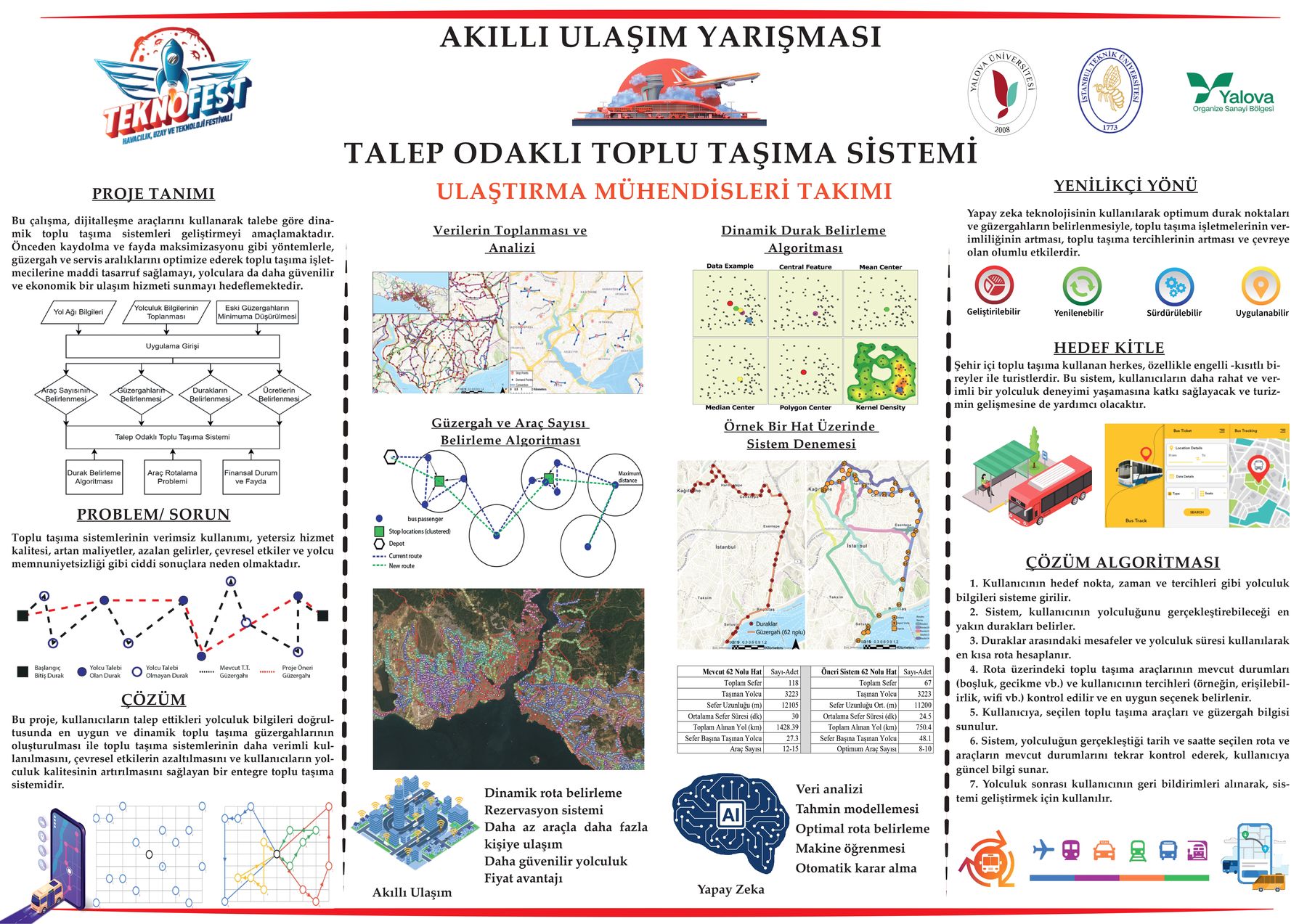
Image 1 of 9: Airport mobility system overview renderAn integrated airport mobility concept connecting smart parking, autonomous terminal shuttles, passenger guidance and a mobile application.
View project
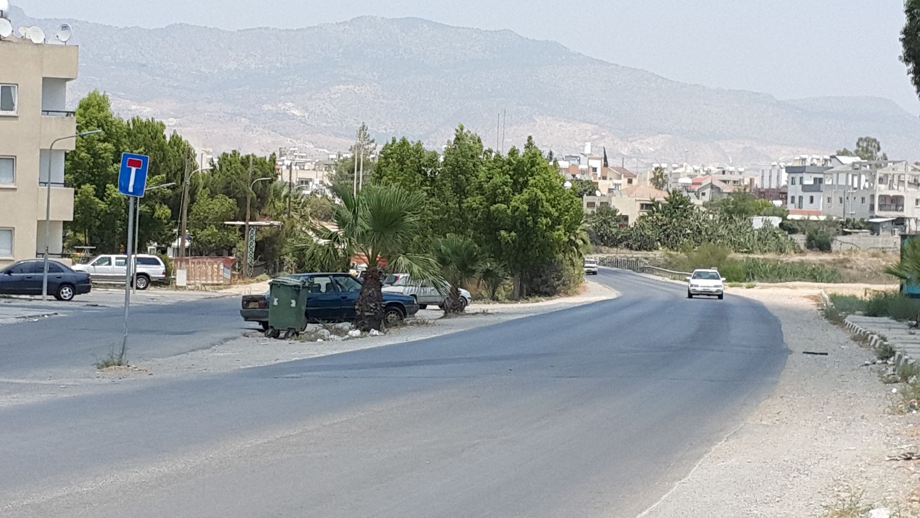
Image 1 of 7: Project methodology and concept posterA public-transport concept that adapts stops, routes, fleet requirements and service intervals to passenger demand.
View project
Image 1 of 10: Existing street and roadside conditionsA road-improvement and urban-design study supported by site photography, corridor mapping, CAD plans and street cross-sections.
View project
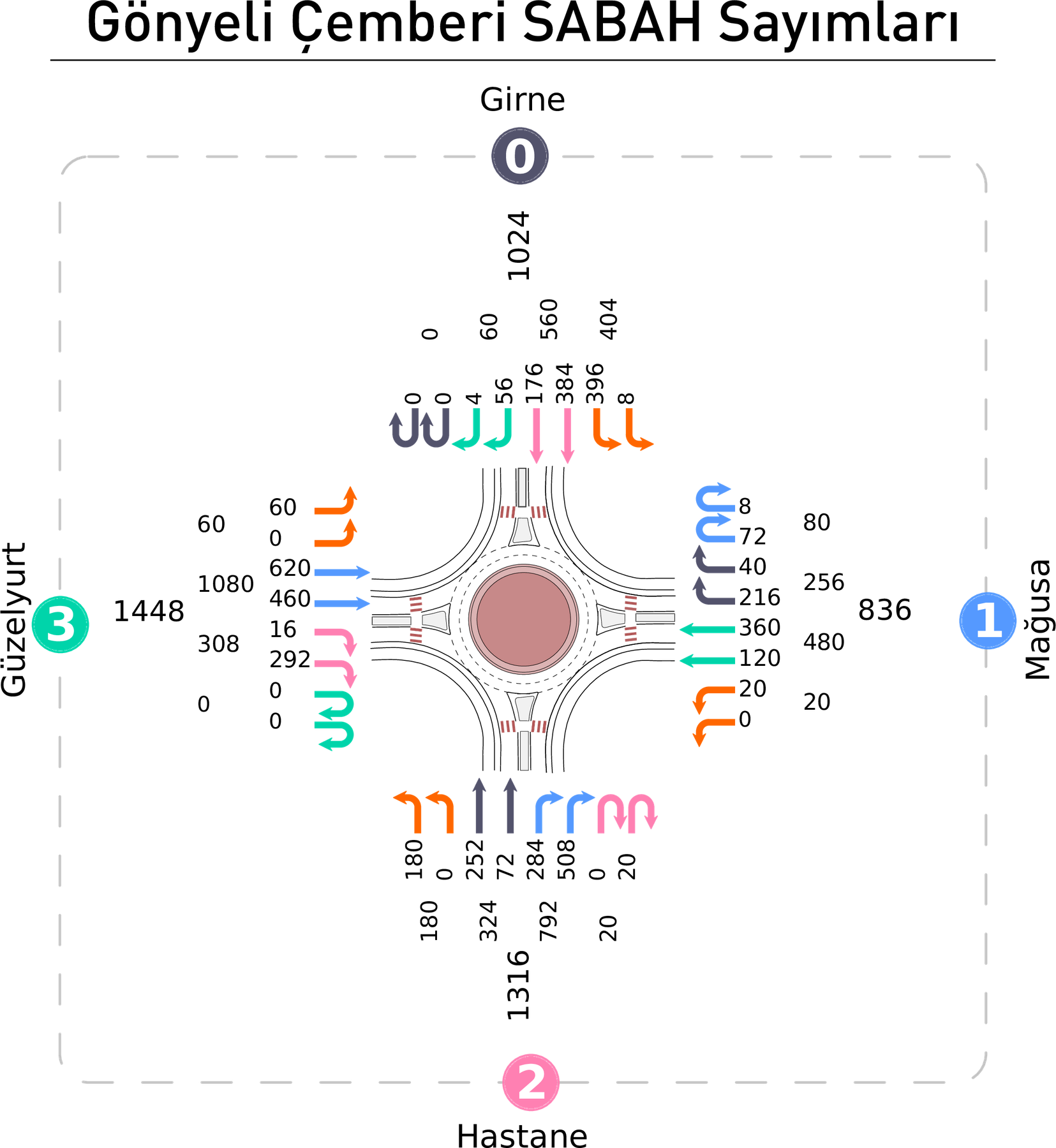
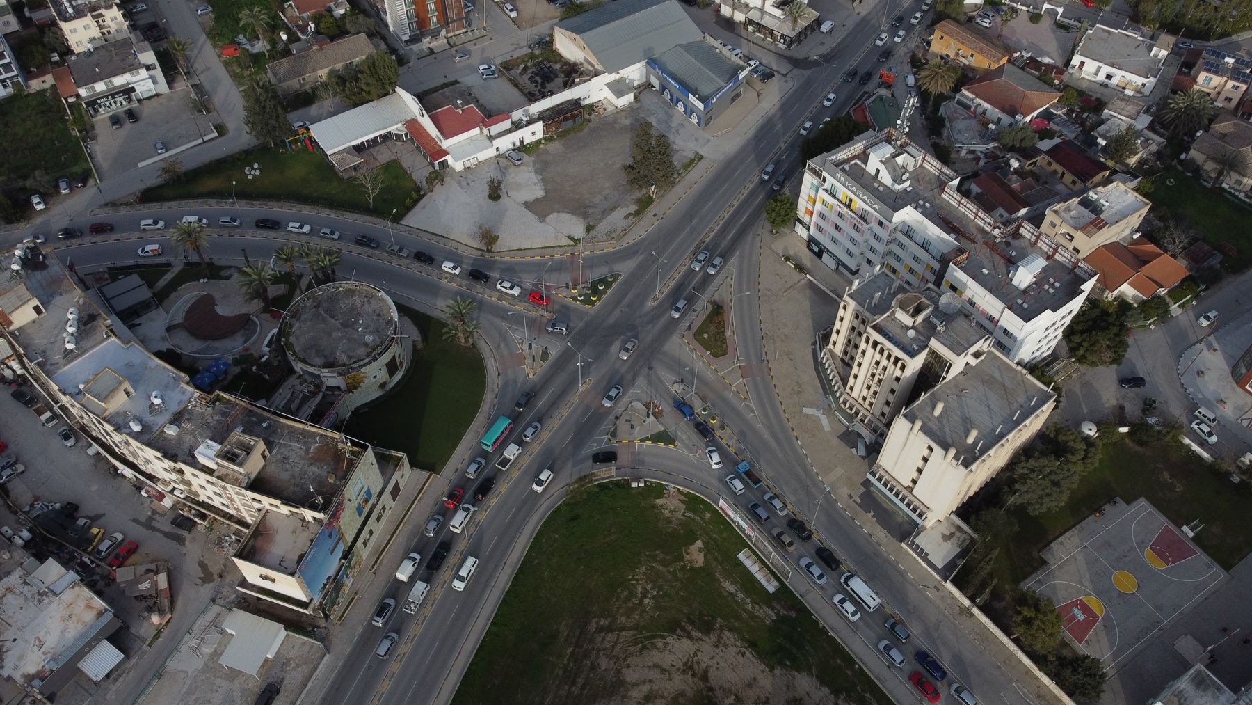
Image 1 of 2: Gonyeli roundabout movement diagramA junction study centred on traffic demand, movement patterns, signalisation and PTV-based modelling.
View project
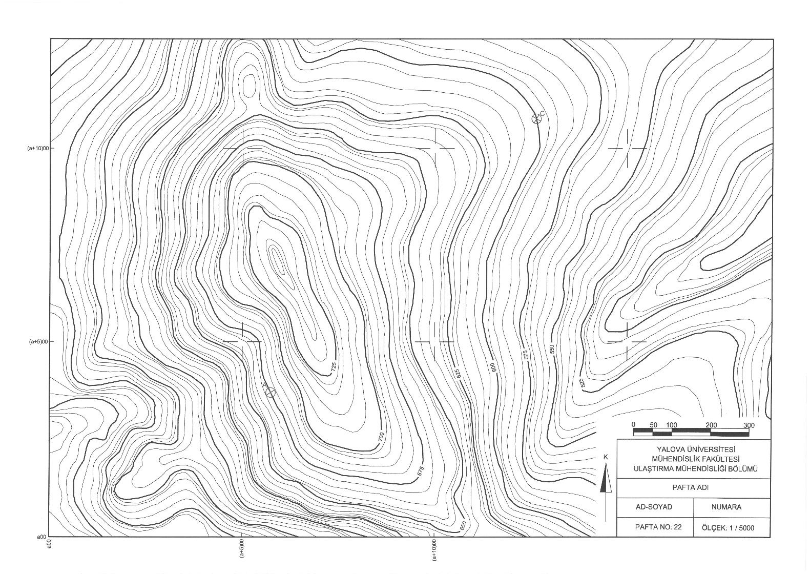
Image 1 of 3: Topographic map used for route selectionA complete road-design exercise covering traffic projections, route selection, curves, pavement structure and cross-sections.
View project
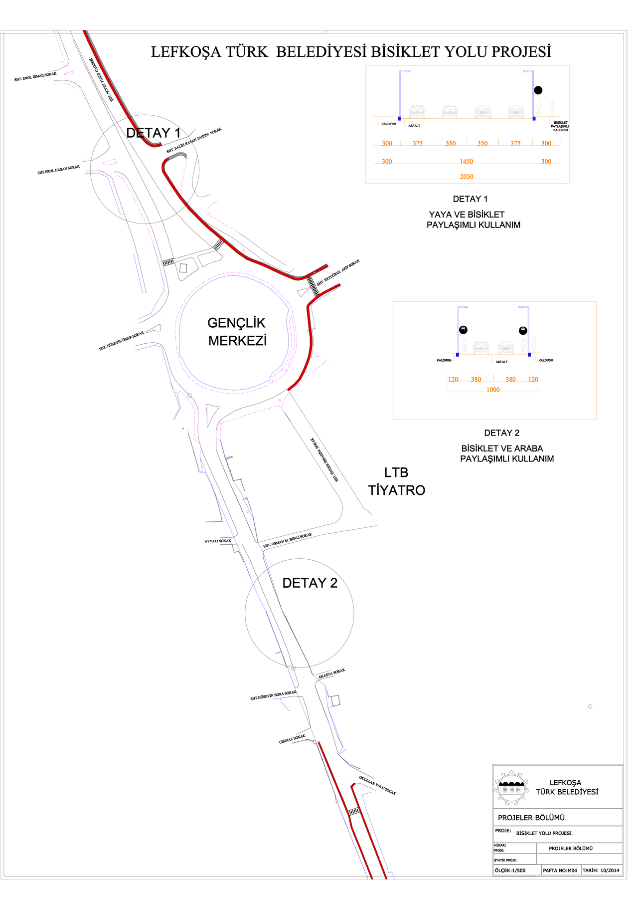
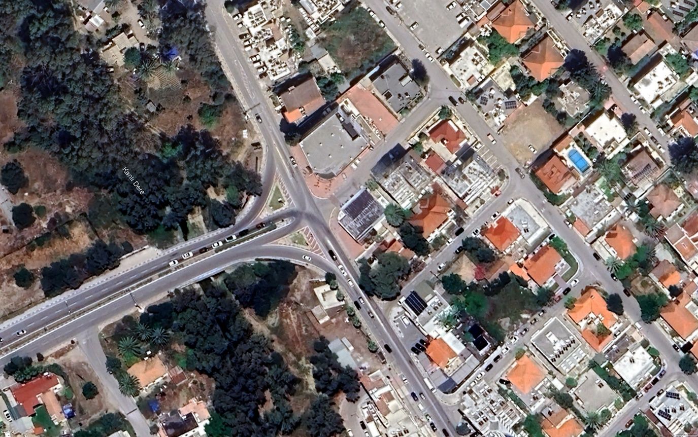
Image 1 of 4: Bicycle route junction detail and cross-sectionsBicycle-route planning material combining a corridor masterplan, detailed junction drawings, sections and aerial context.
View project
Image 1 of 2: Dereboyu aerial junction contextA PTV Vissim modelling archive containing calibrated networks, layouts, signal data and simulation outputs for Dereboyu.
View project
Image 1 of 4: Lefkosa main corridor aerial overviewA corridor-scale PTV Vissim model represented by network, layout and simulation database files, supported by aerial context.
View project
Image 1 of 5: Ministry junction existing layoutA junction-capacity and signal-timing study using passenger-car units, saturation flows, phase planning and cycle calculations.
View projectTwo CAD-based signalisation proposals supported by Değirmenlik geographic context from the road-authority archive.
View project
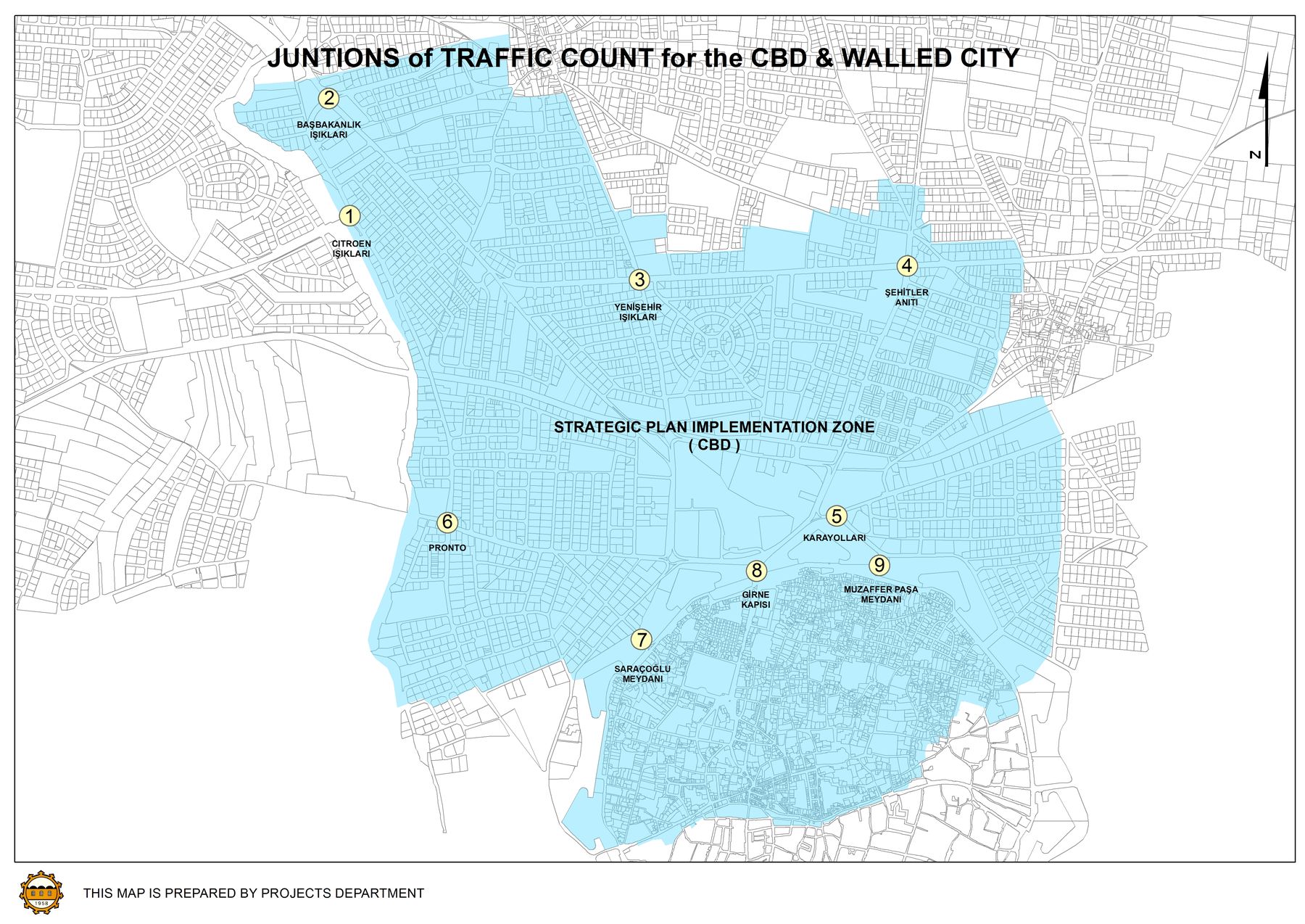
Image 1 of 3: Central Lefkosa junction count-location mapTraffic-count workbooks and movement diagrams covering several junctions and roundabouts across Lefkosa.
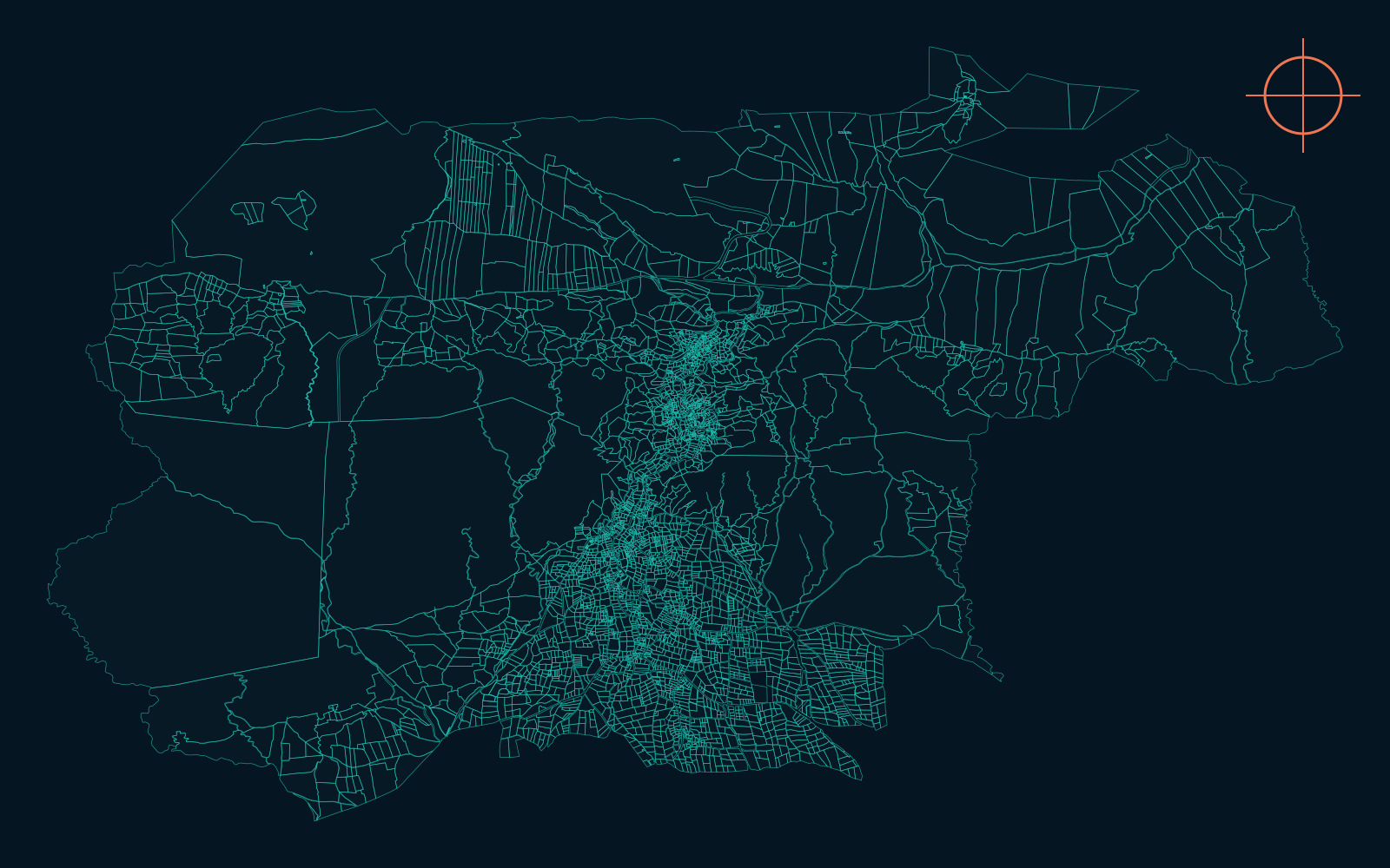
View projectA geographic archive of KML and KMZ datasets for settlements, parcels and old/new network information across Northern Cyprus.
View project
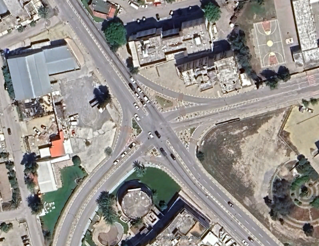
Image 1 of 4: Citroen junction aerial view oneAn aerial survey set covering the Citroen junction and its surrounding road network.
View project
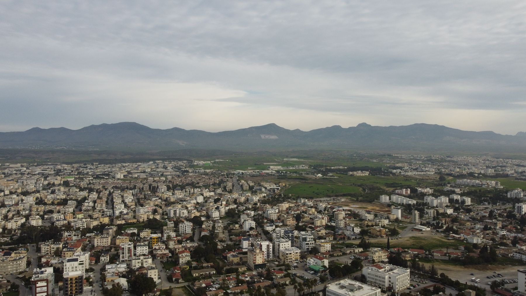
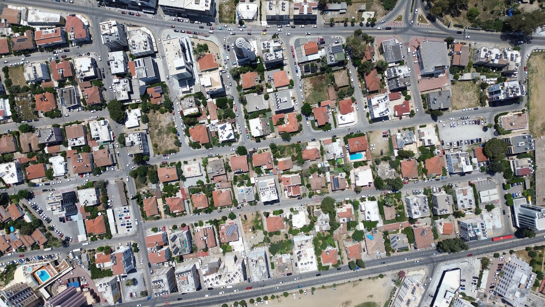
Image 1 of 4: Lefkosa aerial corridor view oneWider aerial documentation of roads, junctions and developing urban corridors around Lefkosa.
View project
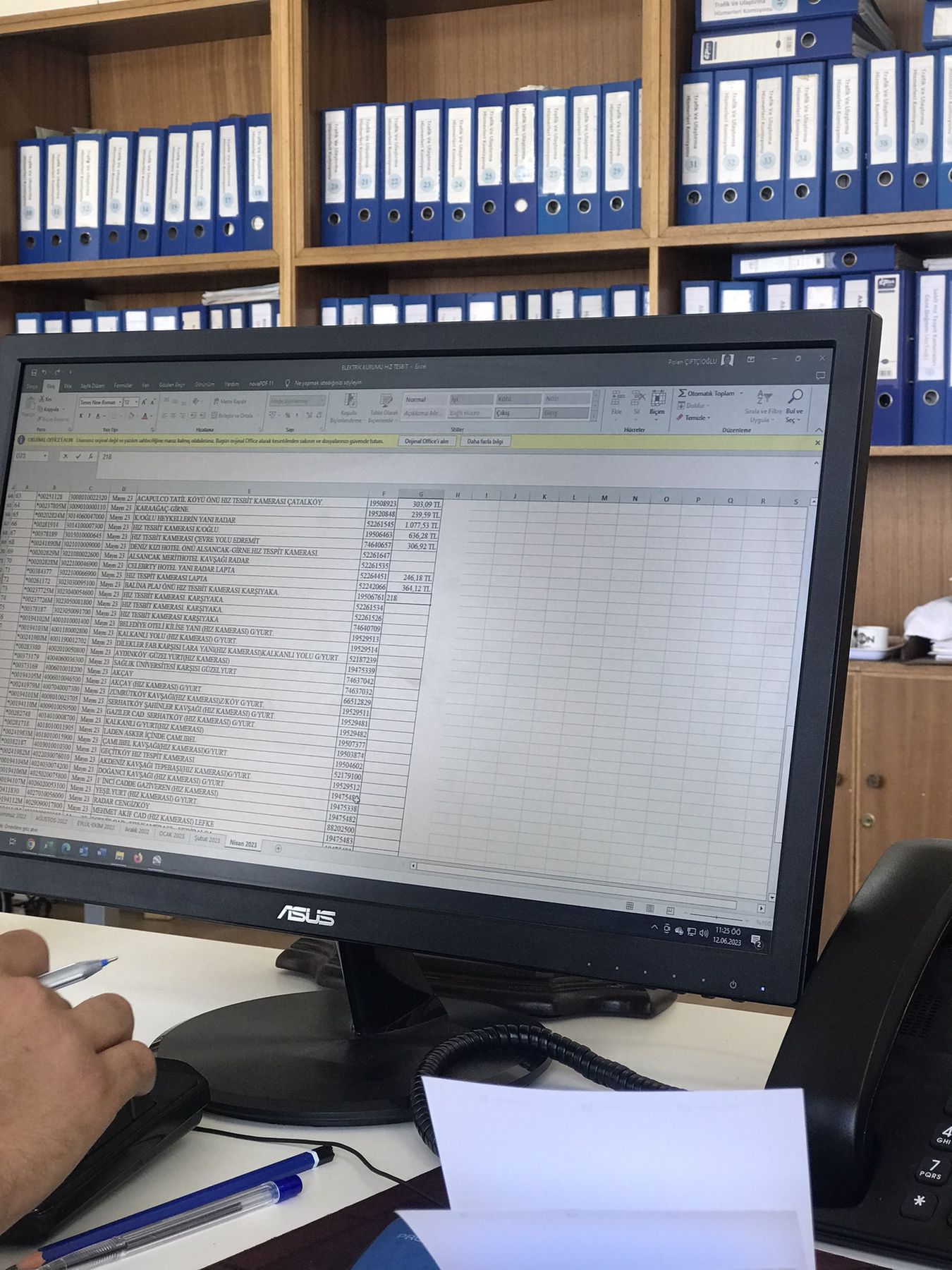
Image 1 of 4: Municipal infrastructure work environmentInfrastructure maintenance and traffic-engineering work at Nicosia Turkish Municipality, including inspections, street improvements and PTV Vissim simulation.
View projectA generalised routing framework for urban logistics and parking-enforcement patrols, developed with ARS Traffic & Transport Technology.
View projectA corporate-commute system combining autonomous vehicles, employee matching and real-time adaptive routing.
View projectA real-time mobility concept that combines emission sensing, exposure modelling and alternative routes for pedestrians.
View projectA Python simulation of customer movement, queues, checkouts and store operations built across a sequence of modelling assignments.
View projectA sensor-simulation study covering LiDAR, camera, GPS and timing coordination for automated-vehicle experiments.
View projectAn airline-planning assignment using aircraft, airport, runway, fleet and demand data to reason about European freight operations.
View projectA data and machine-learning study classifying whether a vessel is genuinely moored from live AIS attributes and movement behaviour.
View projectA maintenance-automation concept for a trolley that inspects conveyor-belt condition and reports system health.
View projectA research proposal investigating how dedicated cycling-infrastructure design can improve e-bike safety and reduce conflicts with vulnerable road users.
View projectA before-and-after safety evaluation of Dutch motorway speed-limit reduction, with a Belgium control group, cost-benefit and ethical analysis.
View projectA preference-analysis study of public-space and transport choices in Noorderstad, including affordability, parking, green space and cycling access.
View project